
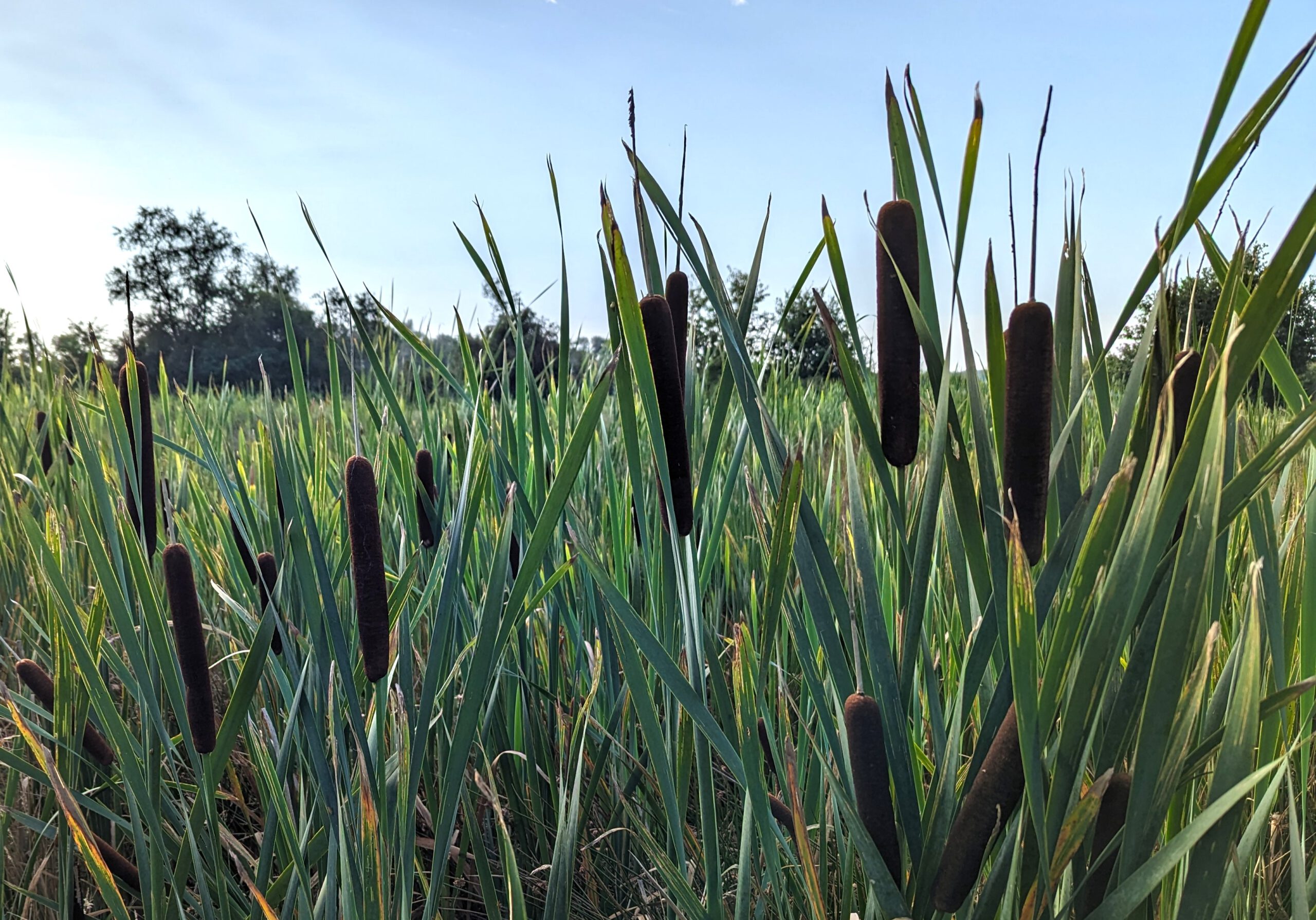
Land Use, Land Use Intensity, Vegetation Dynamics
The climatic effectiveness of peatlands essentially depends on the water level in the peat body and its changes, as well as on the presence of peat-forming vegetation. Superficially, the peatland water level or waterlogging status of a peatland area is reflected in the land use, its intensity and the characteristics of vegetation features (species occurrence, phenology). On the one hand, the focus here is on grassland use and intensity of use (e.g., mowing frequency), including extensively used, rewetted pastures and meadows. On the other hand, converted, formerly drained areas on which new forms of vegetation are colonizing (sedges, reeds, bulrushes) are considered, possibly including extensive or sustainable, wet use. Thus, by considering the intensity of use of wet sites, paludiculture as a form of management is being mapped on a large scale for the first time. On the wet sites, especially those without management, a vegetation characterization is carried out in a second step in addition to the form of use, e.g., also to document scrub encroachment with pioneer shrubs as an indicator of insufficient waterlogging.
Earth observation data can be used to record land use, intensity of use and vegetation as well as changes in these at high resolution. They provide an important basis for monitoring and evaluating environmental and climate protection measures with a focus on the extensification, conversion and restoration of peatlands.