
Floodplain Monitoring
Near-natural watercourses and floodplains strengthen the natural water balance and retain water in the floodplain soils. This reduces the extent and frequency of drying out. The floodplain soils can therefore store more carbon and thus contribute to climate protection. Intact floodplains also minimise the consequences of climate change. By acting as a buffer, they weaken the impact of floods and droughts in equal measure. Therefore, renaturated floodplains increase the resilience of the ecosystems in the area.
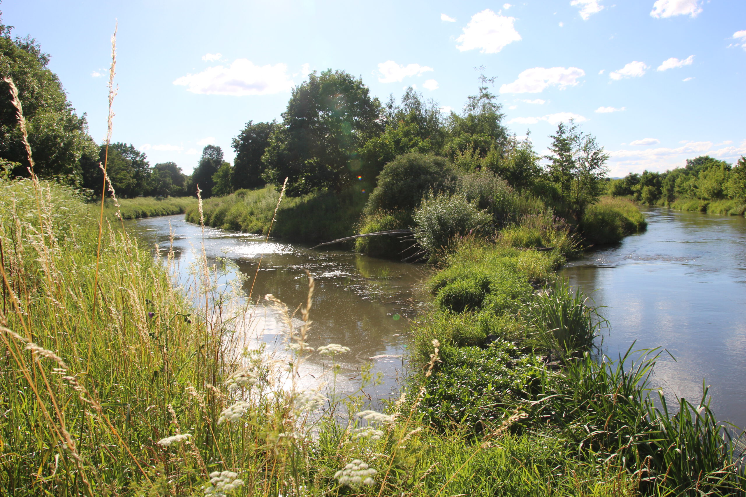
At the same time, (new) habitats are created for species that have had to give way to intensive land use. Renaturalised floodplains are particularly valuable for biotope network planning – as well as for the federal program ‘Blaues Band Deutschland‘ – because they form important stepping stones along large-scale connecting linear structures and thus connect natural areas continuously. Near-natural (renaturalised) floodplains are characterised by a large number of biotopes whose location and condition can also change relatively quickly with the natural dynamics of free-flowing watercourses – especially in the years following the implementation of structural measures for floodplain renaturation.
Remote sensing can record many of these changes in the floodplain landscape over large areas and with sufficient frequency, especially in areas that are difficult to access such as floodplain forests. For the ANK field of action ‘Near-natural water balance with vibrant rivers, lakes and floodplains’, a calculation service for the annual production of a high-resolution map is therefore initially to be created for the recent floodplains of Germany’s larger rivers, which differentiates between biotope type groups that are useful from a nature conservation perspective and can be recognised by remote sensing, as well as other landscape components relevant to climate protection, before an indicator (or several) for the climte effectiveness of individual river floodplains (sections) is developed on this basis.