Biotopes
Field of action:
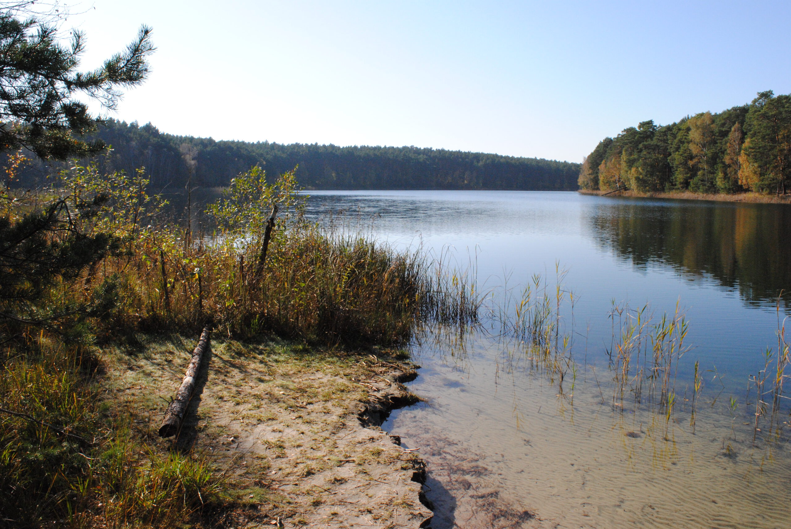
Wilderness and Protected Areas
(Sub)contractor:
LUP GmbH
Relevance of the indicator in the context of the ANK:
Monitoring biotope types and habitat types is important for protecting biodiversity and, in particular, preserving FFH areas. Protected areas are particularly important for natural climate protection, as they form large ecosystems. The desired favourable conservation status of habitats is decisive for carbon sequestration and storage, a process that is often impaired by scrub encroachment. Biodiverse ecosystems are more resilient to climate change events, and measures to protect biodiversity therefore support climate protection.
Monitoring the condition of biotope types reveals synergies with other services. The advantage here is that, for example, the land use service or soil sealing monitoring service can provide additional information on grassland habitats or sealed areas, thereby increasing the accuracy of biotope mapping. Data from green space monitoring and the recording of wooded structures help to identify agricultural habitat types and transition zones and integrate them into the overall analysis. These synergies enable comprehensive analyses of the condition and dynamics of the areas. In addition, floodplain monitoring, soil moisture and the fragmentation of protected areas benefit from the accuracy of the service, making it easier to determine flood and moisture dynamics and the fragmentation of biotopes.
The regularly updated biotope classification is intended to provide efficient support – for example, within the framework of the ANK – for funding applications, the monitoring of compensation and replacement areas, the review of maintenance and development measures in protected areas, the identification of areas in need of restoration, and FFH monitoring.
Description of the Service:
The system is based on high-resolution, spatio-temporal data products from Sentinel-2 time series, with a resolution of 10 m since 2017, as well as high-resolution aerial images for smaller-scale structures. Lidar scans and digital elevation models provide information on terrain shape and vegetation heights. Additional data, such as weather information, is also integrated. This combination of data enables comprehensive recording of biodiversity indicators and changes in ecological status.
The biotope type classes of the various federal states are harmonised using a uniform biotope type key, which is based on the Red List and the EUNIS scheme. Manual aerial mapping supplements underrepresented biotope classes. An AI model is used to select additional points, which are incorporated into the main model. An annual change detection mechanism enables relevant changes to be reclassified on a pixel-by-pixel basis.