
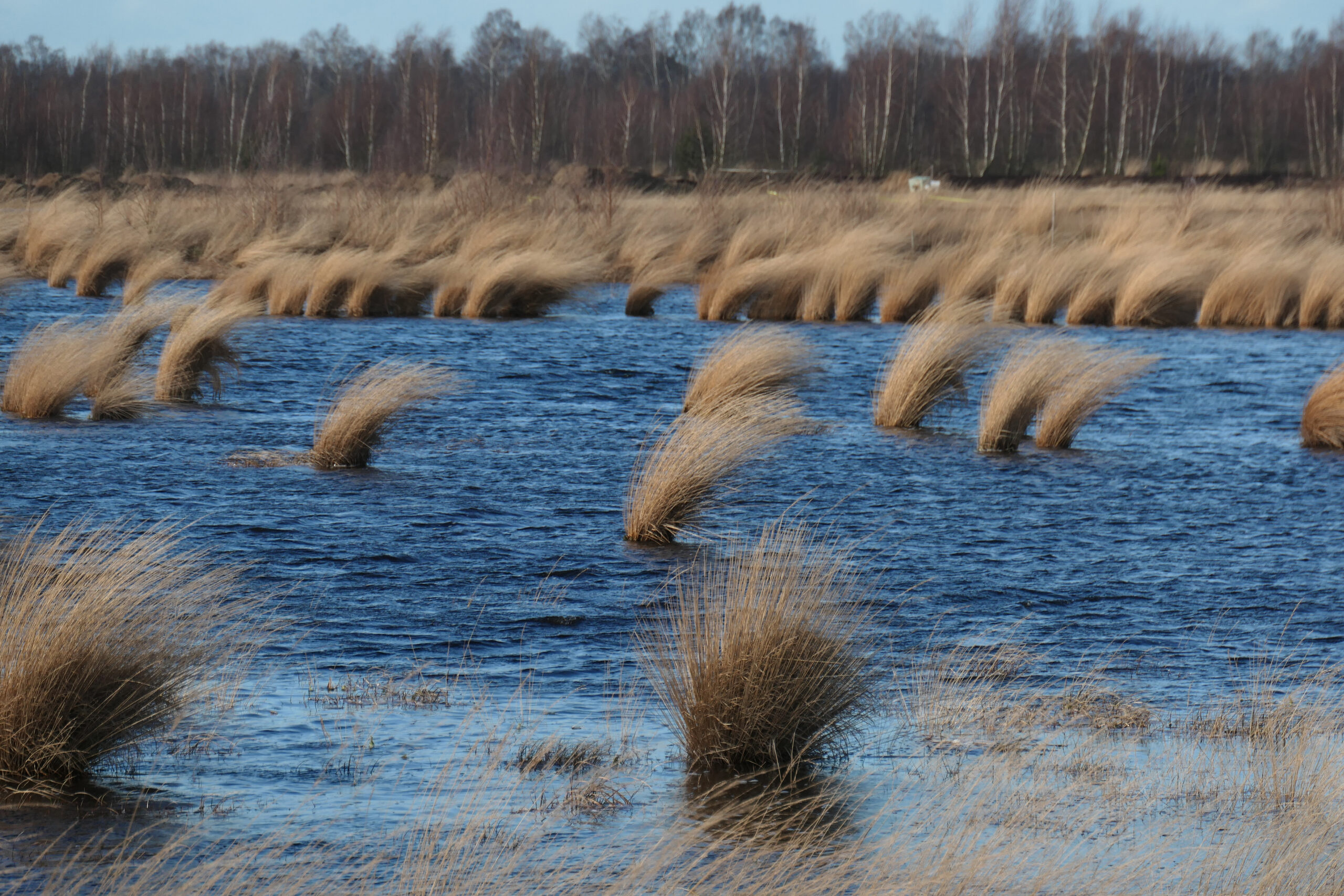
Waterlogging/Surface Water
The climate impact of peatlands essentially depends on the peat water level and its change. The planned activities in the Action Plan for peatlands therefore relate to raising the water level by rewetting peatlands as a key measure for reducing emissions. It is hardly possible to monitor the water level directly using earth observation sensors, but water standing on the surface of moorland (waterlogging) provides an indirect indication of the water level of the surrounding moorland or whether waterlogging has occurred. The waterlogging indicator supports better area-wide modeling of the peatland water level and condition of an area as a basis for calculating emissions and also generally for evaluating the implementation of measures in natural climate protection.
The indicator is conceptually based on a waterlogging service developed in the CopGrün project and is based on the evaluation of monthly composites of earth observation data from the Copernicus program (Sentinel-1/-2). The existing approach is being expanded and further developed for areas with high vegetation in open land so that areas of wet land use after rewetting or areas with secondary succession can be better evaluated.