
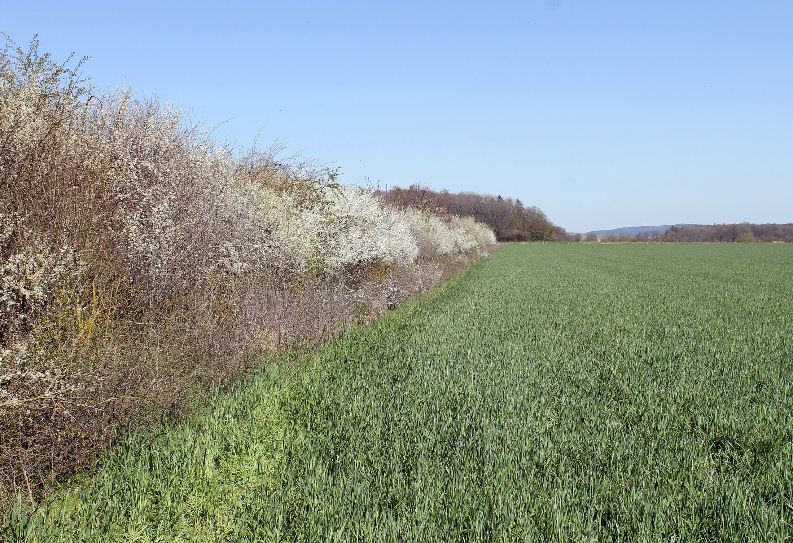
Woody features in agricultural landscapes
Hedges, rows of trees and copses (woody features) in agricultural landscapes are characterized by a higher humus content in the soil compared to arable land. In addition, the growth of woody plants can create carbon, so that as structural elements in the agricultural landscape they can contribute to reducing emissions from agricultural land use. The creation and preservation of woody structures thus directly supports the objectives of the German government’s Climate Protection Act and is a key measure in the Action Plan for funding over and above existing measures. Woody features in open land are recorded in different ways in various federal and state (monitoring) projects, but a consistent, comprehensive quantification is still lacking. Existing satellite-based approaches for the detection of woody structures are highly uncertain, only cover selective features (e.g., hedges) or are not available nationwide.
Very high-resolution satellite data offer the possibility of detecting linear and areal woody structures. In addition, airborne LiDAR data available over a wide area can potentially be used in the future to determine characteristics of the 2D (e.g., canopy space, overstory in hedges) and 3D (height, volume) stand structure for the woody features detected from the satellite data.